Monday, August 6, 2012

Mt. Lassen Peak

In 2008, a collapse of rocks led to the death of a nine year old boy on the Mt. Lassen Peak Trail.  Since that time it has been essentially closed while it undergoes a reconstruction.   Until the work is complete, the entire trail is only open of a few days each year - check the website for details.  The trail should be fully open in 2015.
The Lassen Peak Trailhead

The vehicle entrance fee is $10.00.

It is only open for three short periods this year.  My nine year old son and I climbed the peak on August 5, 2012.  We saw a number of families on the trail with kids of all ages, including an 18 month old carried in a backpack.  My son led the pace and needed to numerous short breaks, but he did fine climbing to the edge of the caldera.  We decided not to climb the scree covered pinnacle, as the day was ending.

The round trip distance is five miles and there is a 2000 elevation gain to the summit at 10,457 feet.  At this altitude there is 69% of the oxygen available at sea level according to altituted.org.

On Sunday, August 5, we left Sacramento at about 10:45 a.m. and hit the trail at 2:45 p.m.  It took us four hours and 40 minutes to complete the hike up and back.    The NPS notes that you should allow four to five hours to complete the hike. 
   
Section of the trail showing new work.  
View of the peak, with smoke from the Lassen fire in background


We set up camp that night at about 8:00 p.m. and it was getting dark.

The two closest campgrounds to the Lassen Peak Trail are Summit Lake and Southwest.  Southwest is a walk-in only campground with only 20 spaces.  We previously reserved a space at the Summit Lake campgrounds, which has a very attractive lake.  The north side campgrounds have flush toilets and south south side has pit toilets).  Cost a this campsite was $16.00 a night paid through Recreation.gov.

The next morning we hiked the Bumpass Hell Trail and went back home.  Plan to spend about three hours on this trail.

Saturday, April 14, 2012

Training Hill to Cool - ASRA

On April 14, 2012, I did a nine mile loop from Training Hill (Pointed Rocks Trail) to Olmstead loop to the small town of Cool.  The trail ends at the Knickerbocker Trailhead parking lot.   I had and "endless" salad bar lunch at American River Pizza and Grill.  The salad was fresh and I would stop there again.

See this printable map
  
The green grass of spring.

Lots of spring runoff
The small town of Cool. 


Find more Hike in El Dorado, CA

Sunday, January 29, 2012

Redbud Trail - Cache Creek Canyon BLM


The Redbud Trail hike was listed in the November 2010 issue of Backerpacker Magazine as a great hike out of Sacramento.  Local hiking clubs were asked for their hiking recommendations and Alan from the Sacramento Hiking Meetup offered up this trail  along Cache Creek Canyon.   Alan led the Meetup hike I attended on January 28, 2012.  

A view of erosion that looked like the product of strip mining.
The highlight of the hike was seeing migrating Bald Eagles fly above the canyon. When Alan led the hike on the previous week, they saw none, so we were lucky.  A birder who was along on the hike confirmed three sightings of immature Bald Eagles, which do not have white heads.  From the distance I saw them, they were clearly large raptors.  The weather was perfect.  This trail is too hot in the summer and in the spring the creek can rise to an uncrossable level.  


A migrating immature Bald Eagle in the distance.

Approaching Cache Creek on the return.


The drive is pretty straightforward from Sacramento.  Take I-5 North to Highway 20.  When you get to Williams, turn left on Highway 20.  After 31 miles, you will pass over a bridge and immediately see a sign on the left that reads Cache Creek Management Area. 


View Larger Map

Crossing in the spring can raise the creek 5 feet higher.  
The Bureau of Land Management controls the land.  They have a webpage with a map of the Rosebud Trail and a link with additional maps for the Cache Creek Natural Area.  There is a parking area with two pit toilets.  A small display stand give some cultural and natural history information about the area.  The trail is well marked down to the creek.  Crossing the creek can be difficult in the spring, but with the recent lack of rain, it was easy to cross across stones and a couple of downed logs.  I did bring water shoes in my pack, and used them to cross, but did not use them on the return.

There are multiple paths after crossing the creek.  This is where our experienced guide was useful.  The map didn't seem to show these multiple branches and there was no clear trail markings.  

Tuesday, December 20, 2011

Training Hill- Pointed Rocks ASRA

Next to the pointed rocks.
On December 20 2011, My eight year old son and I climbed up Training Hill and did a nearly 5 mile loop back to the car. He did well on Training Hill which rises 1000 feet in a mile, but did need to stop several times for water breaks on the way up.

I've done this hike a couple of times nd I like it, but I think the Fire Trail Hike (Kickass Hill) up to the Forrest Hill bridge is a better workout. Located in the Auburn State Recreation Area, this link has a good description of the tail.


Sunday, November 27, 2011

Mt. Diablo Loop


On Saturday, November 26, 2011, I joined a Hikers & Company Meetup that did a loop hike to the summit of Mt. Diablo.     We left Sacramento at 7:38 a.m. and arrived at the Mitchell Canyon Interpretive Center at about 8:10 p.m.  I ran my iPhone's Map My Hike app to track the trail.  The new phone's battery nearly died by the time I finished at about 4:15 p.m. We spent about 40 minutes at the summit walking through the museum and eating lunch. We saw a couple of other large groups on the trail at the same time we were on it, in addition to a few small groups and some cyclists, who must generally use the automobile road. he trail is quite separate from the hiking trail.


The trail crosses the road to the summit.


The top of Mt. Diablo has a museum built as a WPA project.


Below is a fly-over view of the hike.


Inside the museum is the rock floor summit.
A relief map with light showing our starting point.


The trail about 3 miles from the end of the loop.


Sunday, September 25, 2011

Echo Peak - Desolation Wilderness

On Saturday, September 24, I joined the Hikers & Company Meetup for a 9.5 mile hike up to Echo Peak. The trail head is located next to Echo Chalet.  Their website offers these directions.  Also useful are the Google Map directions.  Coming from Sacramento, the exit is off of Highway 50, a short distance from the Ralston Peak parking lot (across from the Camp Sacramento sign).  We hit the trailhead about 10:15 p.m. and completed the hike about 4:45 p.m.  Allow 5.5 to 6 hours for hike.  We spent about 25 minutes on the summit which as free from the bugs found just a bit lower.  The hike can be shortened if you take the boat "taxi" near the end of Upper Echo Lake.  The service ends during Labor Day, so it was not available as an option.

The first half of the hike take you past both Lower and Upper Echo Lakes.  The trail then ascends, with some steeper sections to the summit.  The summit is hidden until you are almost upon it.


The boat launch area in front of Echo Chalet, on Lower Echo Lake

Next to the boat launch is the trailhead  Day hikers fill out a free use permit at this point. 


The start of the trail.

The trail following the lakes is well defined (as pictured)  Later it becomes less distinct.


A lot of the first half the hike follows the two lakes.

In the back is Lower Echo Lake, in the forefront Upper Echo Lake.
Right after this Desolation Wilderness sign the trail forks.  Turn right and climb up the hill. (note the trail to the left of the big tree).
At this trail post turn left.  (Note that the post does not list the summit).  A short distance later the trail forks, turn right again. The Tom Harrison Desolation Wilderness map does not show this fork.  The trail from this point on becomes less distinct and seems less used. 

A snow field remained near the peak, however we were able to walk around it.

A view of the summit.
At the summit, with Lake Tahoe in the background and Fallen Leaf Lake below it. 

The weather was a comfortable.  It was a little cool at the start, but after  a couple of miles I shed my long sleeved shirt and just used a t-shirt the rest of the trip.  We had a light sprinkle on the way back, but it was never enough that I needed to get out my shell.  I emptied my 3 liter CamelBak and was a little dehydrated at the end.  I bought a sports drink at the store at the Echo Chalet store when we returned. 

One of the participants on this hike recorded this 360 degree view from the top. 


Friday, June 10, 2011

Mt. Shasta - Avalanche Gulch Route

On June 8, 2011, G.H. and I drove to Mt. Shasta for a summit attempt via the Avalanche Gulch Route. This was the most physicaly challenging event I had tried, although G.H. had climbed Shasta several times, once requiring an emergency airlift when he broke his ankle hoping across the rocks. . 

Once in the city of Mt. Shasta we had lunch at the Black Bear Diner.  This restaurant was the first of what is now several that have been built around California.  The food was not particularly good.  G.H.'s hamburger was oddly raw around the edges.  My chicken sandwich was okay.

We then went to the Fifth Season to rent my mountaineering boots.  I had used their online reservation system to reserve boots, crampons, gaiters and an ice ax.  When I got there I learned their boots did not come in half sizes.  I found the 12" too small and the 13" too large. I decided on the 13"Koflach boots.  While I had no better choice, this boot would be the reason my summit attempt was not completed.  They told me they did not have gaiters for me, but did find a pair that were slightly damaged, but workable.

We then drove to the Bunny Flat parking area.  This is as far as the road is cleared.  There was quite a bit of snow, as we expected.   We set up our two tents just above Bunny Flat parking area.

Our tents at Bunny Flat with Mt Shasta in the background.


We went back down to town for dinner.  We ended selecting the Piemont Restaurant.  This is a was nice small town Italian restaurant with good food.   We went back to camp to get things organized for a very early start.  The evening was cold, but the sky was clear and there was only light wind.

We awoke at 3:00 a.m. with the goal to hit the trail an hour later.  It took longer than I thought to get ready.  I taped moleskin to my feet using Leukotape P sports tape.  I used silk liners and wool mountaineering socks.   We started off at 5:00 a.m.  The advantage to an early start is that the snow is frozen.  It was nice walking on the snow, and I thought it present less wear and tear on your feet than a standard rocky trail.
The nearly buried Alpine Lodge at Horse Camp. 

We made it to Horse camp just as the sun was coming up.  The stone hut owned by the Sierra Club was largely covered, but the doorway was dug out for access.  We found two campers in the hut, inside of two tents they had set up. The interior was dark, dank and cold.  The hut is only supposed to be used in emergencies, and I think it would have been more pleasant outside. I adjusted my boots and reset my crampons at a table inside.  We then headed to Lake Helen.  The elevation increased as we approached the frozen and buried lake.  G.H led us straight up the middle, instead of taking the more gradual grade to the left.  The steep angle of this climb wore into my heels with each step.   I could guess I was developing some nasty blisters.  When we made it to the top, we took a short break.  There were a few tents set up, including a Ranger tent.  I could not tell if a ranger was actually inside. 

G.H. leaving Lake Helen.  Note the tents.


We then began the long steep ascent up the gulch.   We passed lone guy carrying skis.  We never saw it, but I imagine it was an incredible ride down. 

Now that the sun was out the snow because to get softer.  Be fire I was able to walk on the snow and only crunch it down a couple inches.  The higher I climber the deeper my feet sank.  I tried to search out areas that looked more solid, but those patches became fewer and fewer.  My feet would often sink down to my knee.  

A view of the Red Banks along the ridge.  Note the glissade trails down.
As the climb became steeper, the snow became softer.  Add to that the thinner air and it was quite a physical challenge.  Additionally each step caused sharp physical pain.  As the climb went on, I felt the pain change.  I experienced a burning electrical-like charge in my heels with each step. I knew I had deep blisters that had somehow developed through the moleskin and sports tape I had affixed to prevent them.  I was concerned I might do some long-term damage if I went on.  I signaled to G.H that I was done.

A look down from where I stopped.
I really feel that I could have completed the climb, but decided to end it early.  I took out my cell phone and called my wife and told he I was coming down.  I took some Advil and some pictures.  A mountaineering class of four guys and an instructor came by.  I watched their technique for stomping down the hill and found it was a lot easier going down than up. 

A look at the Red Banks from where I stopped. 

The spot where I decided to turn back. 
We made it back to camp at about 3:45 p.m. When I pulled off my boots, I found blood in my socks.  G.. was gracious about the whole thing and said it was a good call.  We didn't want to have to spend another night there if we didn't have to.  We hurried to break down our camp so that we could get to the Fifth Season before they closed at 5:00.  We made it into their shop at five till, returned the equipment.  We grabbed at bite at Burger King and then made the drive back to Sacramento.  

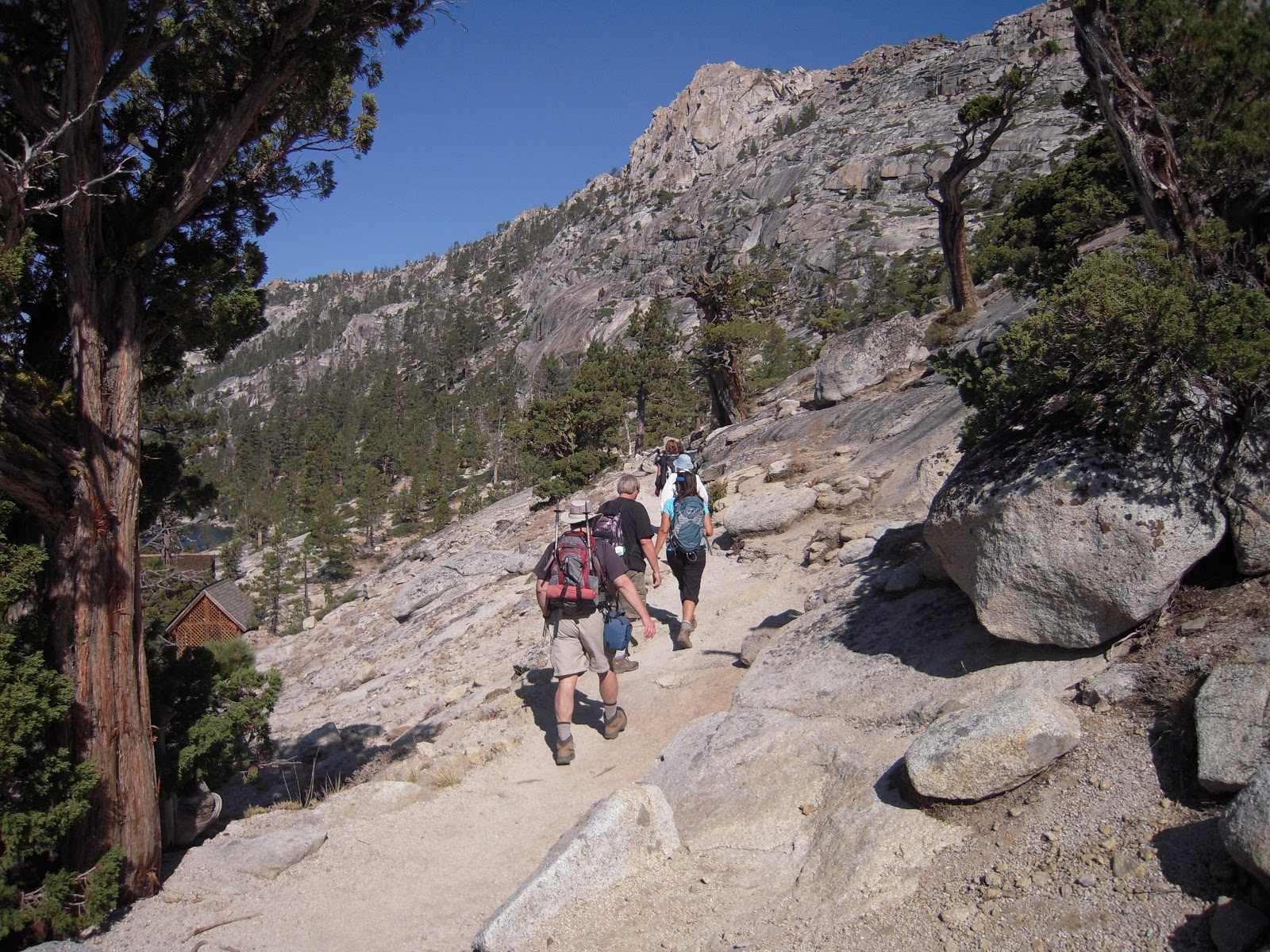
On the way back down.