Showing posts with label Desolation Wilderness. Show all posts

Sunday, September 25, 2011

Echo Peak - Desolation Wilderness

On Saturday, September 24, I joined the Hikers & Company Meetup for a 9.5 mile hike up to Echo Peak. The trail head is located next to Echo Chalet.  Their website offers these directions.  Also useful are the Google Map directions.  Coming from Sacramento, the exit is off of Highway 50, a short distance from the Ralston Peak parking lot (across from the Camp Sacramento sign).  We hit the trailhead about 10:15 p.m. and completed the hike about 4:45 p.m.  Allow 5.5 to 6 hours for hike.  We spent about 25 minutes on the summit which as free from the bugs found just a bit lower.  The hike can be shortened if you take the boat "taxi" near the end of Upper Echo Lake.  The service ends during Labor Day, so it was not available as an option.

The first half of the hike take you past both Lower and Upper Echo Lakes.  The trail then ascends, with some steeper sections to the summit.  The summit is hidden until you are almost upon it.


The boat launch area in front of Echo Chalet, on Lower Echo Lake

Next to the boat launch is the trailhead  Day hikers fill out a free use permit at this point. 


The start of the trail.

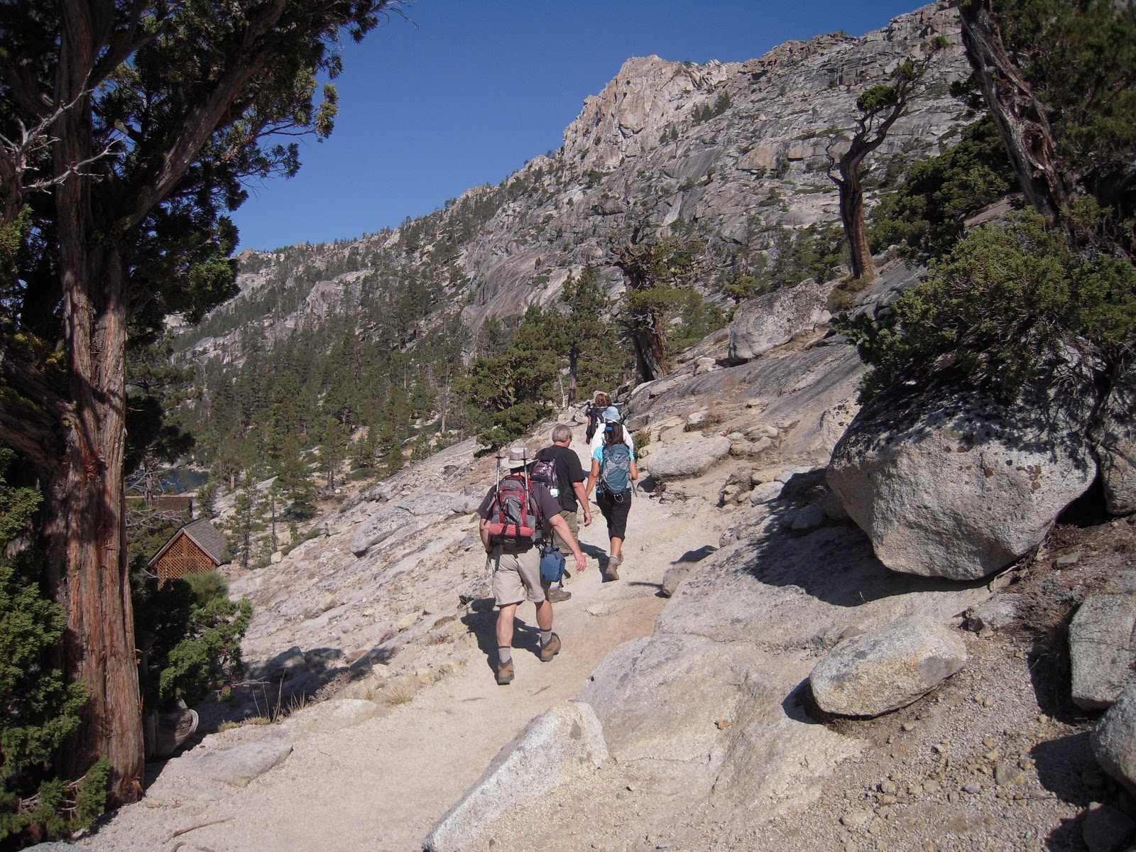
The trail following the lakes is well defined (as pictured)  Later it becomes less distinct.


A lot of the first half the hike follows the two lakes.

In the back is Lower Echo Lake, in the forefront Upper Echo Lake.
Right after this Desolation Wilderness sign the trail forks.  Turn right and climb up the hill. (note the trail to the left of the big tree).
At this trail post turn left.  (Note that the post does not list the summit).  A short distance later the trail forks, turn right again. The Tom Harrison Desolation Wilderness map does not show this fork.  The trail from this point on becomes less distinct and seems less used. 

A snow field remained near the peak, however we were able to walk around it.

A view of the summit.
At the summit, with Lake Tahoe in the background and Fallen Leaf Lake below it. 

The weather was a comfortable.  It was a little cool at the start, but after  a couple of miles I shed my long sleeved shirt and just used a t-shirt the rest of the trip.  We had a light sprinkle on the way back, but it was never enough that I needed to get out my shell.  I emptied my 3 liter CamelBak and was a little dehydrated at the end.  I bought a sports drink at the store at the Echo Chalet store when we returned. 

One of the participants on this hike recorded this 360 degree view from the top. 


Sunday, September 26, 2010

Horsetail Falls to Ropi Lake in the Desolation Wilderness

On Sunday, Septmebr 26, 2010, I hiked Horsetail Falls to Ropi Lake in the Desolation Wilderness.  I did this with the Sacramento Hiking Meetup Group. I went with five others. The hike was about eight miles, round trip.

View Larger Map

Pyramid Creek Trailhead map. 
The trail head is just past Strawberry about an hour and a half from Sacramento.  The trail is in the El Dorado National Forest.  Pyramid Creek Trailhead is located at Twin Bridges.  The Forest Service has a has a parking lot with a fee of $5.00.  Pit toilets and water are available.  We arrived at about 8:30 and hit the trail at 8:45 a.m.  The trail is initially easy.

At the farthest end of the loop, you will find the tail into the Desolation Wilderness. Filled out the permit for your group and head up trail.  This trial becomes harder to follow.

Eventually we guessed which way to go and followed the creek. It becomes a scramble to the top. This is a good workout and the rock is slick in some sections.  After the long scramble, hike is easier to the lake.  The weather was a surprisingly warm, 90 in Strawberry, but with a slight breeze is was a beautiful day for a hike.

We spent about an hour at the lake.  We returned to the parking lot at 2:30. The drive home slowed to a crawl for some reason around Placerville. 

Top of Horsetail Falls.

Horsetail Falls from a distance.
Horsetail Falls near top

The water on its way to the falls.

Water before the falls.

Ropi Lake.

Another view of Ropi Lake.